

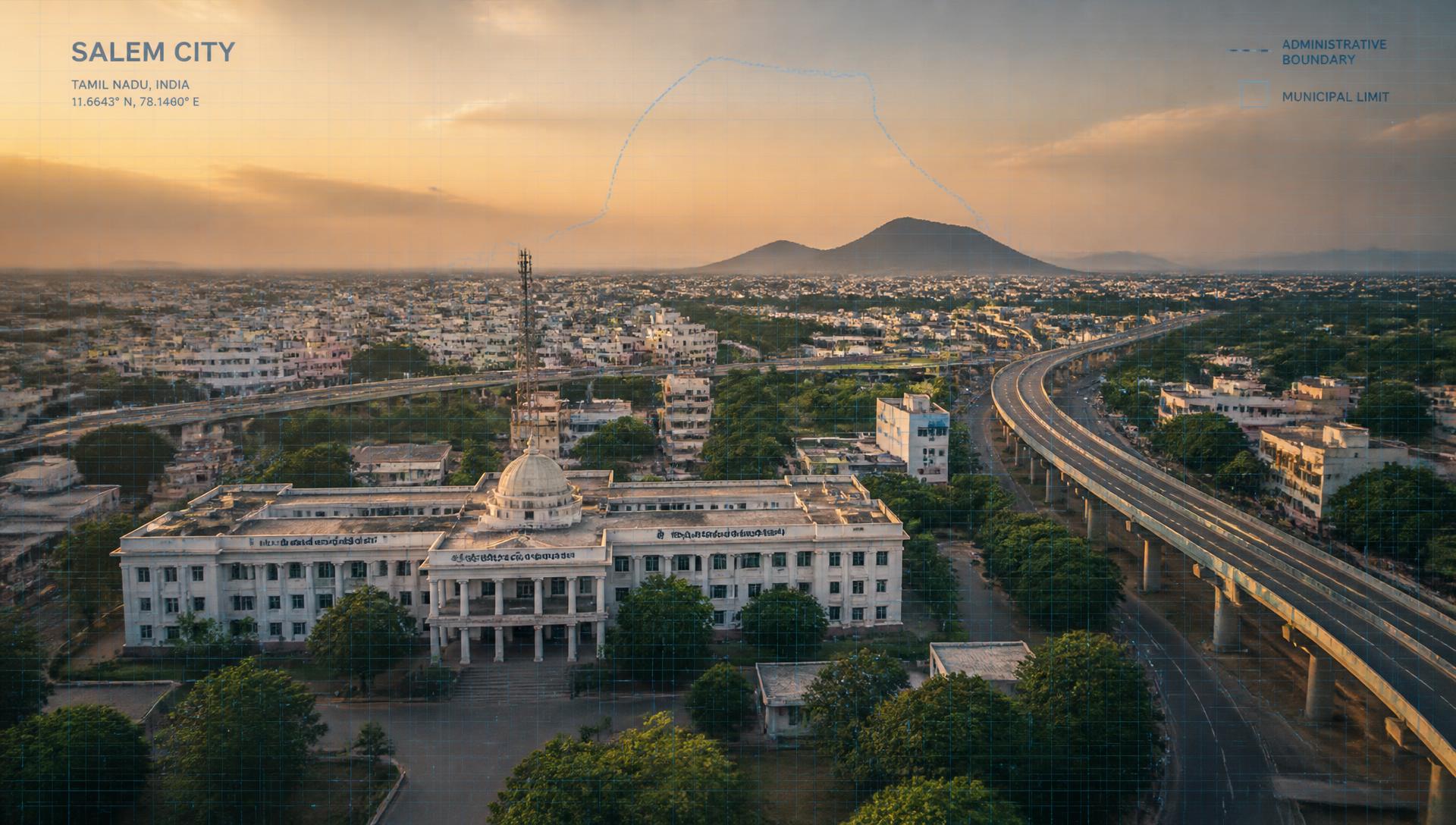
Welcome to Salem Municipal Corporation
GIS Management System
A centralized Geographic Information System (GIS) platform for efficient planning, monitoring, and management of municipal infrastructure, public utilities, civic assets, roads, water distribution, drainage networks, administrative boundaries, and urban development.
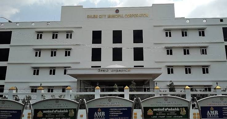
Key Features
Municipal Services
Water Supply
Potable water distribution and management.
Road Maintenance
Upkeep and repair of municipal roads.
Street Lighting
Maintenance of city streetlights.
Solid Waste Management
Garbage collection and disposal services.
Public Health
Health centers and sanitation services.
Parks & Recreation
Maintenance of public parks and spaces.
Building Approvals
Digital building plan sanctioning.
Emergency Services
Rapid response and disaster management.
Why Choose This GIS Platform
Real-Time Monitoring
Track municipal assets and infrastructure conditions with live data updates.
Accurate Spatial Data
High-precision geographic data for accurate planning and resource allocation.
Digital Governance
Transparent and efficient administration through digital workflows.
Centralized Asset Information
A single source of truth for all municipal assets and properties.
Improved Decision Making
Data-driven insights to support urban planning and policy decisions.
Efficient Urban Planning
Smart tools for zoning, expansion, and sustainable city development.
Role-Based Access Control
Secure, hierarchical access for different municipal departments.
Integrated Management
Seamless interoperability between various civic service modules.
Our Vision
To build a smarter, sustainable, and digitally empowered Salem through GIS-enabled governance, fostering a clean environment and high quality of life for all citizens.
Our Mission
To improve municipal services, infrastructure planning, transparency, and operational efficiency by integrating advanced geospatial technologies into daily administrative workflows.